



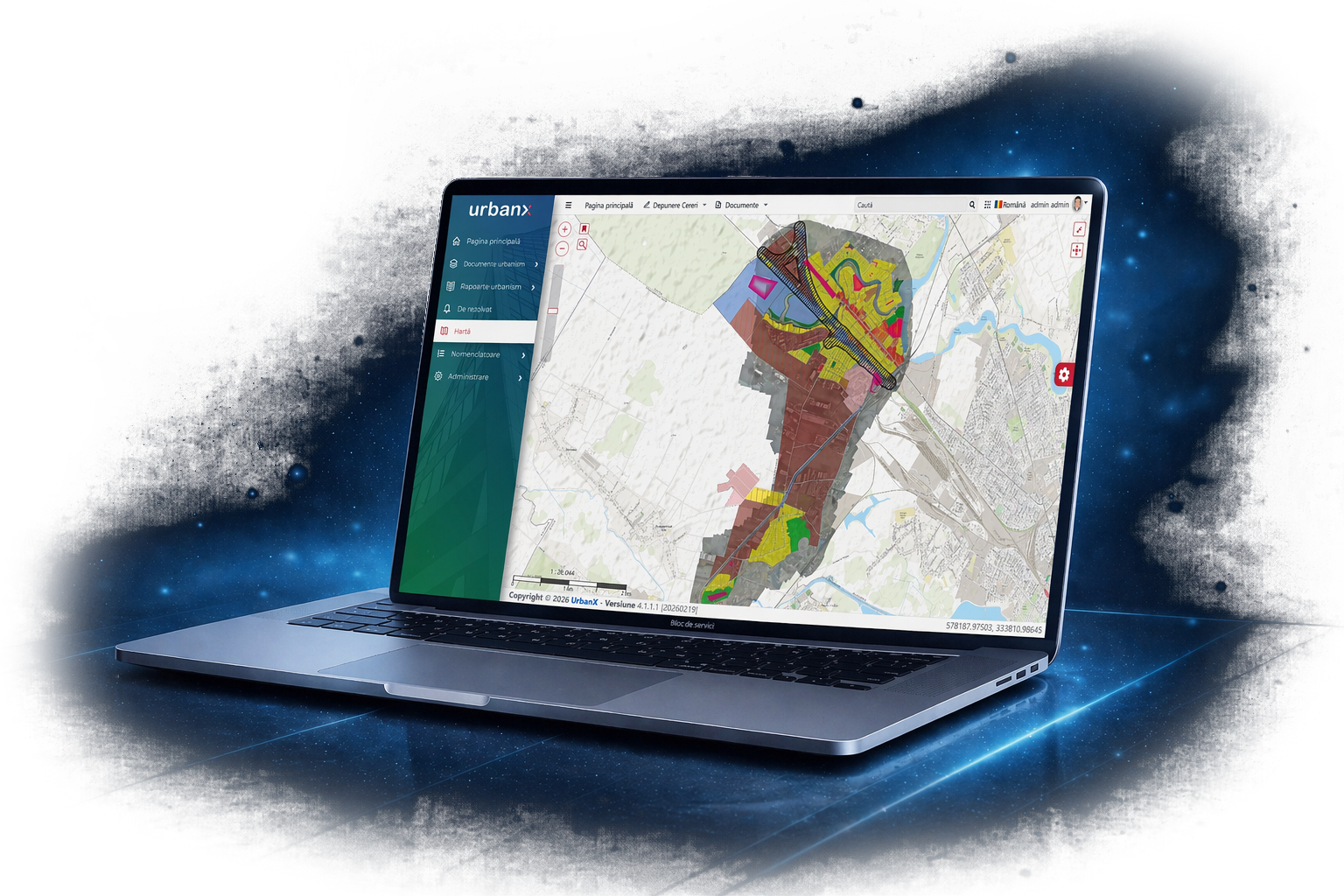
An integrated web platform for public administrations that digitises and streamlines urban planning processes, parking management and cadastral information management. UrbanX centralises documents, GIS maps, approval workflows and institutional reporting in a single modern application accessible directly from the browser.
Management of applications for urban planning certificates, building permits and street naming certificates, from registration through to issuance and archiving.
Management and visualisation of GIS layers, identification of properties and parcels, overlaying urban planning and cadastral information, and accessing data associated with geographic objects.
Recording parking spaces, managing applications and subscriptions, and allocating them by auction or on a first-come, first-served basis.
Automatic generation of reports for INS and access to cadastral information through integration with ANCPI services, directly from the platform.
Registration of applications, tracking of documentation, monitoring processing status and management of responses and issued documents.
Management of the entire authorisation workflow, technical documentation, processing deadlines and the complete history of each application.
Management of applications for street naming certificates and linking administrative information with available spatial and cadastral data.
Automatic generation of statistical reports based on recorded information, reducing processing time and the risk of manual processing errors.
Documents, maps, applications, subscriptions and cadastral information are managed in a single system.
Every request and operation can be tracked through its status, processing history and associated documents.
Access to features and information is controlled through roles and permissions configured for each user.
The modern web interface can be used without installing additional applications on workstations.
Workflow automation and information centralisation reduce the time required to process applications and documentation.
The platform eliminates redundant documents and reduces the repeated entry of the same information.
Integration with GIS systems, ANCPI services and INS reporting provides quick access to the necessary information.
Trained consultants provide assistance with urban planning, cadastre, parking and reporting workflows.
Do you want to digitise urban planning processes,
parking management and cadastral data management?
Discover
UrbanX!